Scott again! Sorry for all the posts so quickly together. Just getting caught up.
As we approach our destination, we use Dotham Cut. Going from one body of water to another between islands is called a cut. This cut will get us to the Great Bahama Bank side of the island. The charts say it is easy to navigate and deep with strong current, but two years ago someone left a comment that he had waves crashing over his bow and took their secondary anchor and had the anchor rode get tangled in his prop. So, we will be cautious. We had no issues; it was one of the easiest cuts and should be the last time we have to boat in the Exuma Sound this trip. We should be able to stay on this side of the islands from now on.
Where did we leave off? We left Prime Cay and headed north on Exuma Sound. It was wavy with 2′ waves and swells with short intervals. We have been in worse, but I always laugh because we would not have traveled in this on Lake Michigan, and now this really is not much for us. We have a straight shot for much of the distance. So, I set the auto pilot and just make sure the waves don’t push us off course.
On Nebo we can see other Nebo users in the anchorage. I sent a couple messages out to Nebo boats asking about the number of boats in the anchorage just to know what we are getting into. Also, we primarily use Aqua-Maps as our chart plotter. Aqua-maps has a feature to show your location to other users and I sent a couple messages on that was as well. We heard from one person about 30 minutes after we arrived! But I learned a lot from them about garbage and water so worth it!
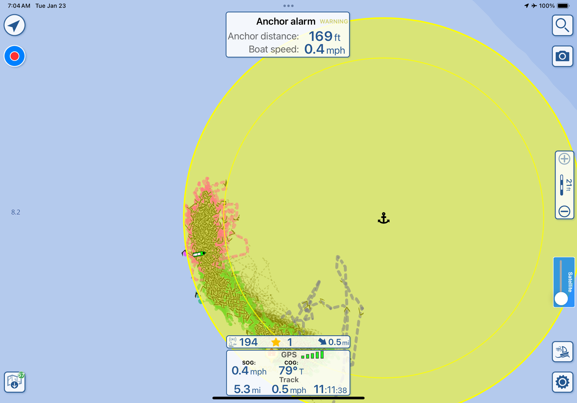
Anywho, there are about 35 boats in the anchorage. We are power boat #3. LOL! We find a spot a little far out, but close to the north shore. Seems like it will be protected. We decide to stay here and not go to the other anchorage.
We have four 5-gallon jugs to haul water. They have free water on land a short walk from a beach and I want to be able to top off our water supply. Since this is late coming out, I only put in about 28 gallons of water. That was over a period of time of almost 5 days which I think is really good as we were using 10 gallons a day in George Town, but we started conserving as we only carry 70 gallons on board plus 20 gallon in portable jugs. We just might take a nice long shower WITHOUT turning the water off while we suds up! That is exciting!!
We met a nice couple from Cape Coral, FL who offered to make water for us at the other anchorage. But, moving just didn’t sound like fun as the wind has picked up. We have been here two nights now. The first night was really rough! It was hard to sleep it was so rolly. The second night had stronger wind, but it was coming from a slightly different direction. More ENE than NE, maybe 10 or 15 degrees. But, in the middle of the 2nd night I almost forgot we were on anchor except, I could hear the wind – the wind was so loud pushing 25-28 mph!
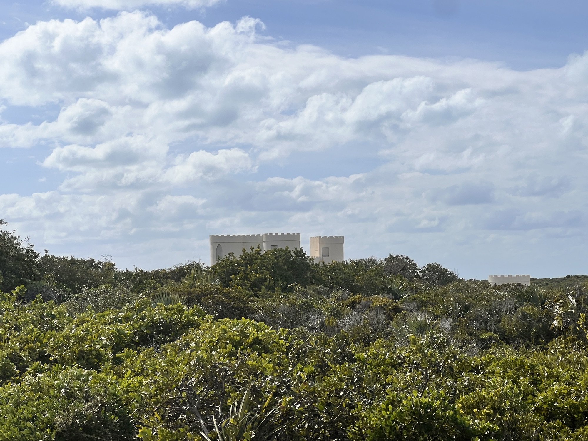
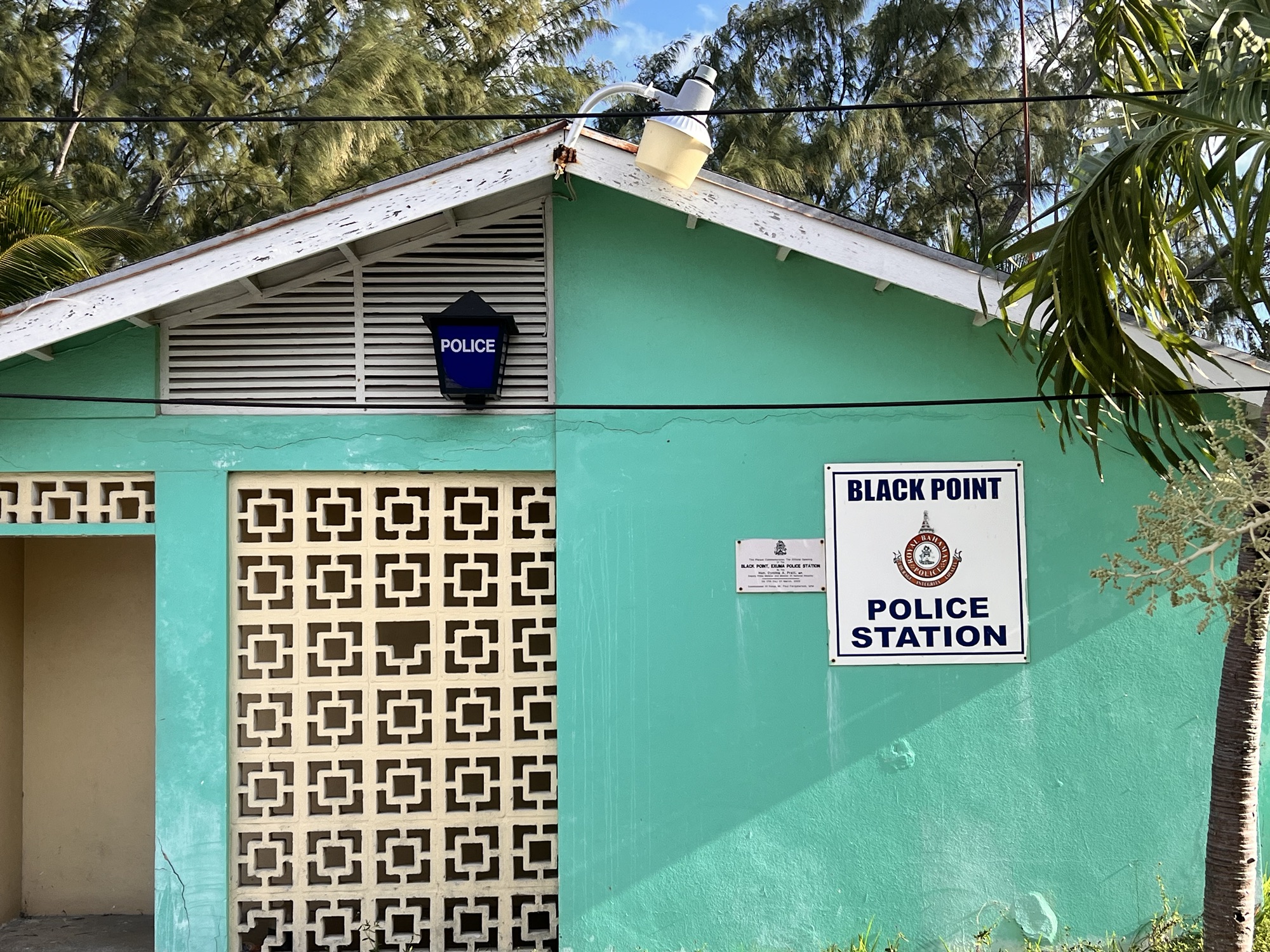
Anyway, the first full day here we took a super long walk. We wanted to see the other anchorage so we decided it would be good to walk there. Rita will share more about that in the future. Other exciting stuff? Fresh bread. We can get fresh bread made daily! That excites me.
I will try to attach some photos I took on our walk, but not to take away from Rita’s future post. So, I will get to the stats for the travel day.
Plan v ACTUAL
Start at: 7:00 am A CTUAL start: 6:50 am
End at: 10:30 am ACTUAL end: 10:02 am
Total Time: 3:30 hours ACTUAL 3:05 hours
Distance: 26.8 miles ACTUAL 26.5 miles
Avg. Speed: 8.6 mph
Max Speed: 12 mph
Yet another plan I can live with! I actually liked getting up early and being done traveling before noon. We had so much daylight left for activities!